The Churches of Saint-Vincent and Saint-Michel
From the beginning the Bastide was divided into two parishes with two churches: Saint-Vincent and Saint-Michel.
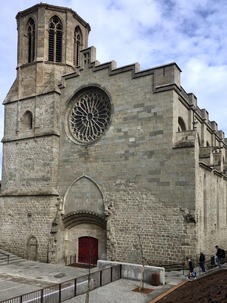
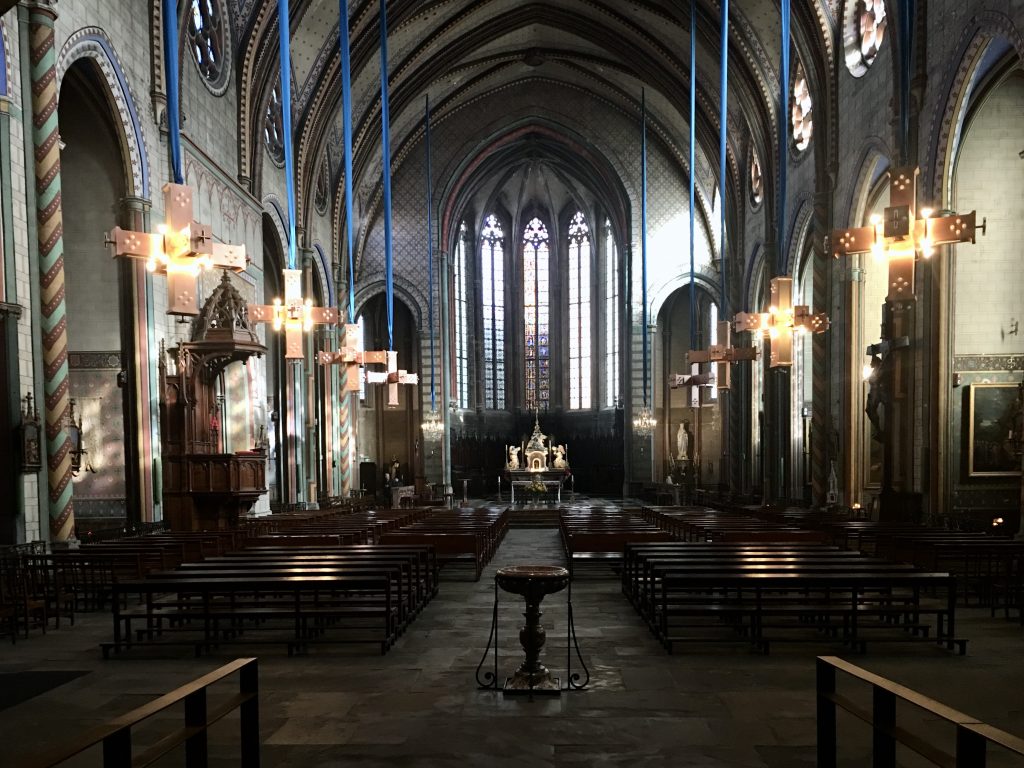
The nave of Saint-Vincent has the greater volume and its bell tower is massive, but the Cathédrale Saint-Michel is in better repair and has undergone recent renovations. It has been the cathedral in Carcassonne since the early 1800s, when it replaced the church of Saint-Nazaire, in the cité.
Both churches are lovely places to visit and I often find myself in them. Our apartment is about 150 metres from each, one to the north and the other to the south.
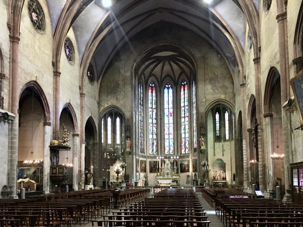
The parish church of Saint-Vincent.
Built around the end of 13th century and the beginning of the 14th century
As soon as you enter you can help but notice the width of the nave. By only a few centimetres it is the second widest in France, and at 60 metres long and 27 metres high, its volume is among the greatest in the land.
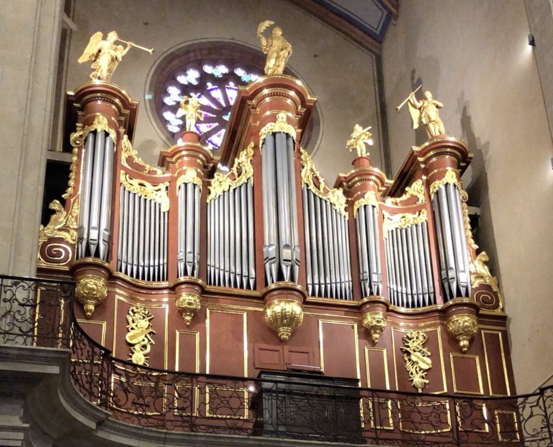
One of my visits to St Vincent coincided with organ practice. Unfortunately not on the impressive 18th century one with the golden pipes, but on the one hidden behind the altar, which probably gets more use in these days. Regular organ concerts win the main instrument are a feature of the church.
The Bell Tower
Its height of 54 metres has made the tower a landmark for hundreds of years. It has been used by the great cartographers of the 18th century to draw a definitive map of France, and in 1803 it served as a geodesic point for Méchain and Delambre in determining the length of the meridian from Paris, and calculating the “metre” in terms of the earth’s circumference, the basis of the metric system.
With its 54 bells, it contains the most accurate and most important carillon in the south of France.
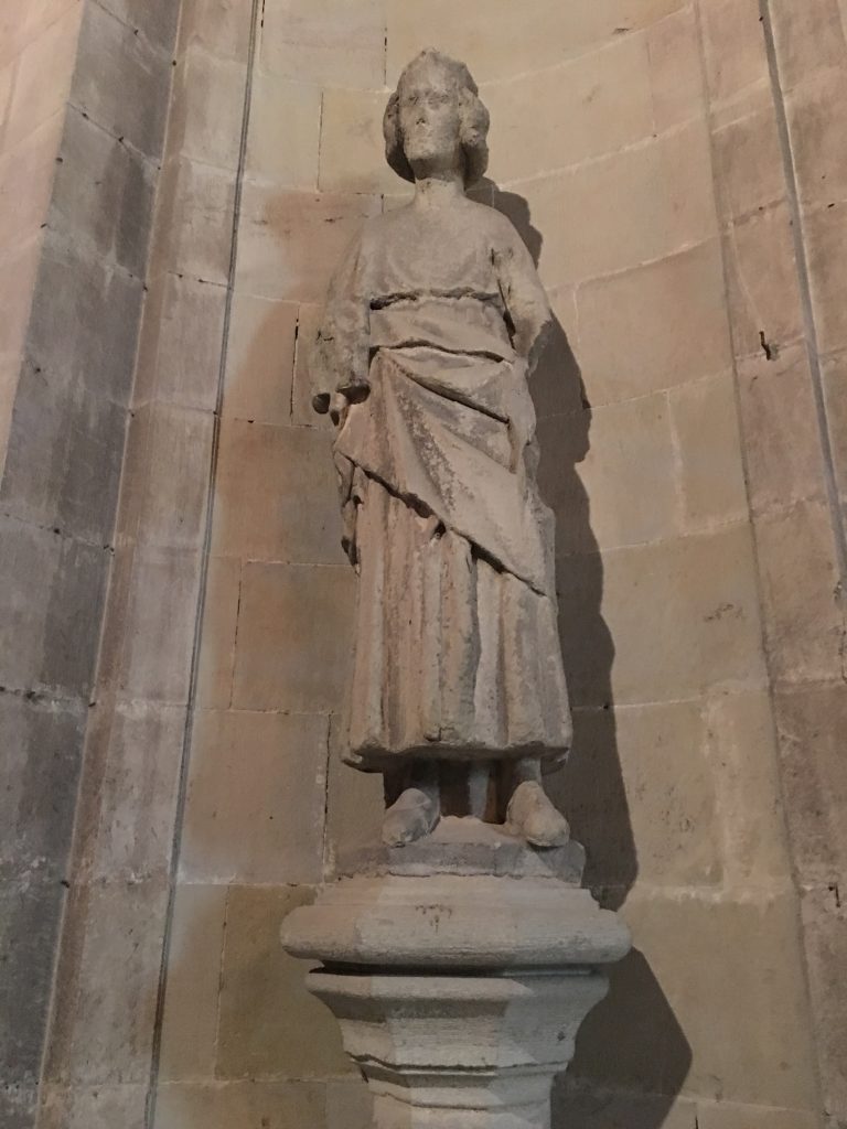
The cathedral church of Saint-Michel.
Building started in 1247.
After the destruction of 1355, the church was incorporated into the new fortifications surrounding the Bastide. You can see the traces of military-type structures in the walls, and the fact that it was at that time surrounded by large banks and ditches is indicated by its position lower than the 19th century boulevard, which replaced the old fortifications.
